Maps are top down views of physical locations. When maps were first invented they were drawn on paper, but today you are much more likely to view a map on a screen. These maps are likely to have features which users can interact with. These interactions can include:
- Manipulating the map.
- Highlighting additional information.
- Zooming.
- Scrolling.
- Annotating the map.
Maps might be the cornerstone of your website, or added as decoration. A business directory for example, will need an interactive map which pinpoints the location of each business. Even as a mere static image, maps can be a great way to break up text in your website.
Uses of Web Maps
The most basic and obvious use of a map is to show site visitors the location(s) of your business. This is usually placed in the contact page. Beyond that, the possibilities are endless. Just a few examples include:
- Chronological journey locations and route of a holiday.
- Geospatial information such as
- Weather patterns
- Voter distribution
- Socio economic data
- Property boundaries
- Location data
- Office locations of your business
- Locations of items in a directory such as homes for sale on a real estate website.
Implementing Interactive Maps
We can create maps on your website with the Google Maps API. Other great tools for creating online maps include:
Find Out More
Web Design Ledger and Design Modo contain some examples of beautiful interactive maps to inspire you.
You can find out more about interactive web maps at these resources:
Phoenix News Desk

Claiming Your Direct .au Domain
The new direct .au domain extension launched in Australia on March 24th 2022. In this post we’ll explain what it is, why it’s useful and …Read More »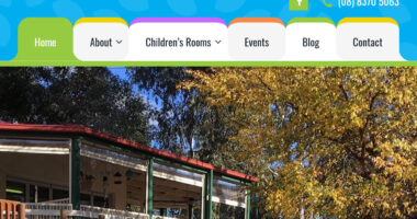
Rounded Manila Folder Style Menu Tabs Using CSS Triangles
When building aberfoylehubccc.org.au we wanted the main navigation menu items to look like manila folder tabs. This meant it was necessary to add an outwardly …Read More »
WordPress Slider Revolution – Hiding Slides on Desktop Screens
Slider Revolution is a WordPress plugin for creating slideshows. It’s a great flexible plugin, one of the most popular out there and we use it …Read More »